
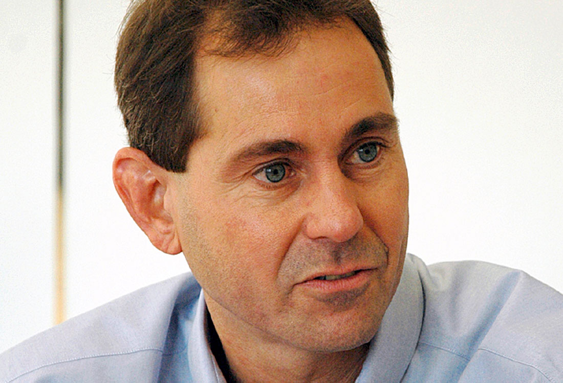
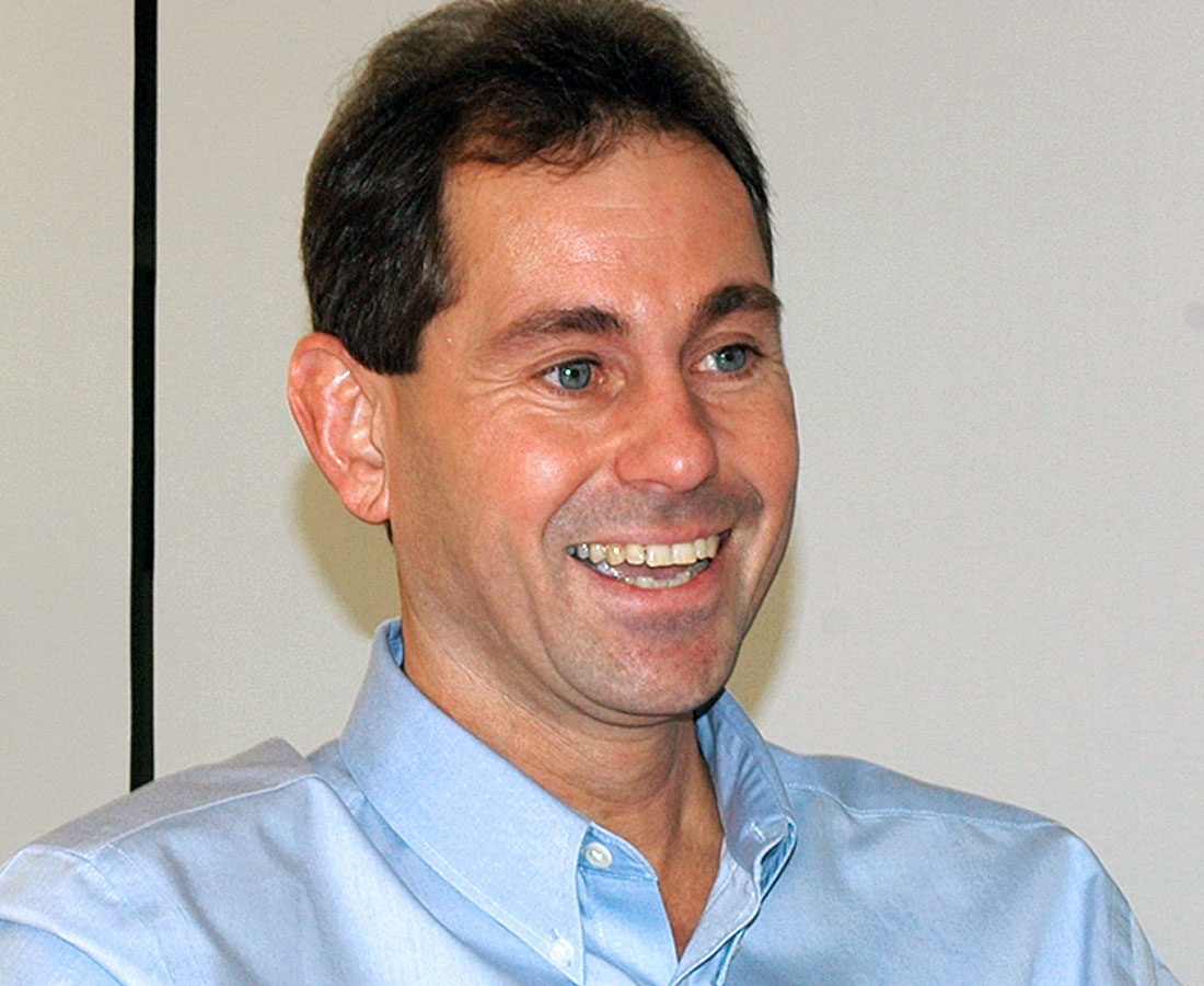
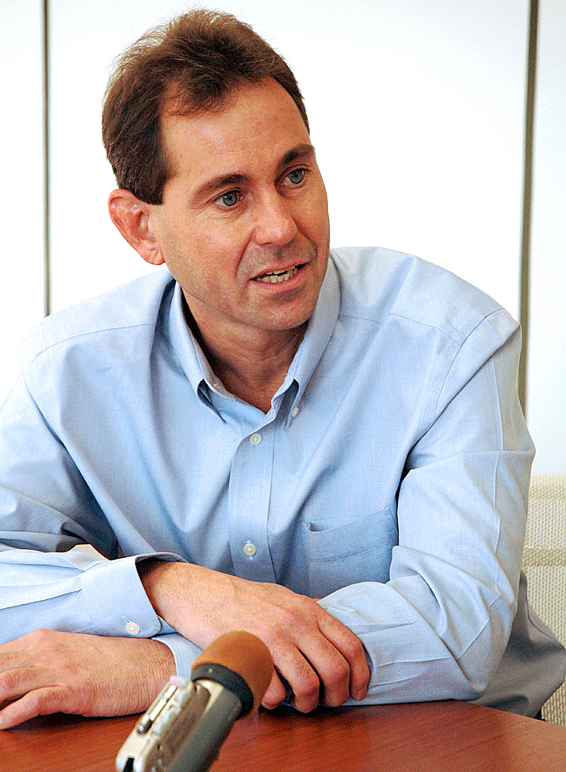
John Varsek is an experienced petroleum geophysicist/geologist who is well known in our industry. His interests in geophysics range broadly and include seismic acquisition, imaging, seismic rock properties, potential field interpretation, and are supplemented by long-standing activities in structural geology, basin evaluation and tectonics. All this helps him in his current role of managing successful exploration and development programs. He has won awards for his technical contributions, likes to volunteer for professional societies and is the General co-chair for the 2007 CSPG/CSEG Joint Convention. John is a very enthusiastic person and we had a very engaging discussion with him. Following are excerpts from the interview.
John, tell us about your education, qualifications and work experience.
I obtained my Bachelor’s Degree in Geophysics from the University of British Columbia in ‘79, though I entered the program through a most unexpected turn of events. I had finished first year and was contemplating forestry or pharmacology. That summer, while on a camping trip with my girl friend, I was relaxing on an air mattress on Nicola Lake. I was reading the UBC Program Calendar and stumbled upon this discipline called geophysics. “This sounds interesting!” I thought, “Geomagnetism, geothermal energy, seismology, the geoid.” So I went ashore and announced that I was going to study geophysics. Being a practical Pre-Med student she asked, “What’s that?” “I have no idea what you do with it”, I replied.
Following graduation I joined the Industry in Calgary and worked for Canada-Cities Service, which through a series of acquisitions and mergers, is now Nexen. The only seismic interpretation experience I had was a handful of profiles given as a 4th year geophysics lab. While at Cities I developed an interest in seismic acquisition and with the support of my boss, John Harding (CSEG President 1974), collected an experimental data set from east-central Alberta using a seismic shotgun. This became the subject of my Master’s thesis under the supervision of Professor Don Lawton at the University of Calgary. Dr. Easton Wren, who was a friend of John Harding’s, came to see my thesis presentation at the ’84 CSEG Convention and hired me soon after. At Petrel Consultants I worked on AVO for two years. Mainly I wrote AVO and rock physics modeling code, developed an Industry course and did some case histories. It was an exciting experience as the specialty was just emerging.
Meanwhile, I stayed in touch with Professor Fred Cook, who was a new faculty member at the U of Calgary. While I was at Petrel, he became one of the founding scientists of the Lithoprobe program. When I told Dr. Wren that I was thinking of doing PhD work in this program he replied with a metaphor, “If you need to sell ice-cream on 6th Ave in the middle of winter, then you should do it.” So that September, I signed up for doctoral studies to look at deep crustal structures of the Canadian Cordillera.
I finished my formal education you might say in early ‘92, but of course it hasn’t stopped, it’s just accelerated.
So where are you working now and what you are doing?
I am at EnCana. I joined Alberta Energy six and a half years ago; it merged with PanCanadian to become EnCana, to explore the Northern Frontiers. Currently I manage an exploration and development group working in Central Alberta. It’s a multi-disciplinary team, geology, geophysics, reservoir engineering, development engineering. We pursue a mixture of plays from conventional to tight gas, gas shales and coal bed methane. For a team to produce projects of scale that exceed economic hurdles requires many challenging geo-science questions to be solved which I find extremely stimulating and I hope the team does also.
Tell us about the projects that you worked on – some interesting ones. I know one of them was the seismic delineation of acoustically transparent reservoirs.
Oh, yes. You are taking me back to the mid-80s. Easton Wren and I were looking at some Viking reservoirs and at Shannon oil-bearing sandstones of the Powder River basin. We noticed that at zero offsets the reflection response was negligible because the density and sonic responses cancelled each other out. At far offsets, however, there was a strong negative amplitude increase. So we wrote, with colleagues from Denver, a short paper for The RECORDER just to point out that this phenomenon existed and backed it up with models. It was a satisfying corroboration about a predicted AVO effect, which up until that time had few, if any, published examples.
Another project I enjoyed began when Easton pointed out the great work of Onkiehong, Askin and Vermeer on symmetric wave-field sampling. He asked me to model some typical field arrays and to understand where the temporal and spatial frequency notches were. The basic idea is to create a ‘generic’ array by matching array length to station spacing. In principle, this notches out coherent noise in the critical reflection passband near the k=0 axis of f-k space. With a ‘cleaner’ record, one can push deconvolution harder for higher stratigraphic resolution. The question it raised for me was the possibility that these field arrays would fail for the same reason that f-k filters do in practice. So with Jon Downton (formerly Integra/ now at Veritas) we created synthetic records to examine the effects of varying static shifts and amplitude across an array. The arrays were only effective at separating coherent noise from reflections if static shifts and amplitude variations across the array were quite small.
This insight led to the development of a processing flow whereby reversible amplitude scaling and static shifts corrections were applied prior to pre-stack f-k filtering. My colleague Rod Morris applied this method to several 2-D profiles from southern Alberta and showed that well ties and stratigraphic resolution were greatly improved. I must thank Michael Enachescu who nominated the presentation for a 1993 CSEG Best Paper award and Jon, for the privilege of working with him. There’s a follow-up to this story. Several years later a friend of mine, who at one time had worked for a major processor, told me the paper caused quite a stir in their shop. They had discovered the same ‘trick’ earlier and believed that it gave them an advantage for processing noisy data. For me it took some of the luster out of the discovery and it was a lesson on how truly difficult it is to develop unique insights and competitive technical advantage in our Industry.
I notice you have an interest in deep seismic reflection data interpretation. Tell us about that too.
Its funny how early interests can manifest themselves later on in a career. As a youngster, a typical weekend or holiday with my parents was camping and hiking around Vancouver or in the mountains of southern British Columbia. Eventually, one begins to appreciate the esthetics of that environment and gains, perhaps, a passing curiosity about why the mountains a re the way they are. Even through my undergraduate years this was never a pressing question and it lay dormant until I met Fred Cook, who I mentioned earlier. Fred was a recent graduate of the COCORP Program, a consortium for Continental Reflection Profiling in the States, and he brought that expertise to U of Calgary. He described a proposal that he and Dr. Ron Clowes (UBC) were working on, called Lithoprobe. One of the first orogenic transects was going to be a cross southern BC. That’s when it clicked. I said, “Sign me up as soon as you get the funding.” It seemed a perfect match and that was how my interest in continental tectonics started.
Lithoprobe, over its twenty-year life, became recognized globally and is a model for how to develop dynamic, multi-disciplinary, decentralized re search programs. Personally, it was one of those career-changing experiences. I shifted focus from algorithmic work to multi-disciplinary studies. The beauty of reflection seismic is that a wide range of scales can be examined; from the wavelet-scale for looking at bedding all the way to continental-scale structures which can be observed only if the transect is long enough. The reflection profiles provided a marvelous structural framework for interpreting and combining other geophysical data sets like gravity, magnetics, refraction and electrical data. We could trace these structures from the surface to great depths and infer timing relationships from geo-chronological dating. The profiles allow one to look at the broader aspects of geology in an interdisciplinary setting .One discovery was showing that the basal detachment of the Foothills and Rockies could be traced all the way to the Fraser River near Lytton beside the Trans-Canada Highway. Interestingly, it is nearly exhumed at Revelstoke, and then it dives to the base of the crust at a depth of about 35 km at its westward limit.
Good. Tell us, how are these deep crustal studies relevant to the oil and gas industry?
Yes, that’s a sixty four million dollar question, especially for the Western Canada Sedimentary Basin. Perhaps I can illustrate the possibilities, although I’m not convinced that we have definitive examples. Gerry Ross and colleagues showed the difficulty when they published on Lithoprobe crustal profiles across Alberta in the mid-90s. It appears that the Alberta portion of the basin was deposited on a thick lithospheric plate that was not easily re-activated. Correlation of crustal structures to basin features is tenuous.
The situation in northeast BC may be different. After I finished my PhD work at U of Calgary I rejoined Petrel Robertson. The company had just run a deep crustal reflection profile along the Alaska Highway. In collaboration with Dr. Neil Hutton, now retired, though still a passionate carbonate geologist, we noticed a very strong correlation between the distribution of Slave Point carbonate platforms and pre-Devonian sub-crop layering. These features could be correlated regionally to outcropping middle Proterozoic assemblages; so clearly there was an element of tectonic inheritance. The additional angle we were pursuing was trying to understand the distribution of hydro-thermal dolomite in these platforms and we thought the reactivated structures might have provided fluid flow conduits beneath the Devonian sedimentary cover. The question to ask is whether you are throwing horseshoes or are you starting to develop a genetic model for the occurrence of reservoir facies that is useful for prospecting. Could you get there without the deep reflection seismic? Probably, but I think you would be lacking an important element for predicting prospective fairways – and that can be a competitive advantage.
I think that another potential area of application may be in high-grading tight regional reservoirs where one needs permeability uplift in order to be economic. This is less about detecting local structures than it is about defining competitive advantage in fairways over relatively broad areas, such as at township scale. The idea is to find areas where statistically mean flow rates are economic. A simple example would be finding subtly reactivated ‘basement’ strike-slip systems where widths are in tens of kms and lengths an order of magnitude greater.
I would like to hear something about the most exciting moment in your professional life when you went “Oh, I’ve got something”!
I am going to go sideways on that one. I wasn’t paid, but one of those moments was volunteering as technical chair for GeoCanada 2000. It was an immense undertaking, as the CSEG, and CSPG for that matter, didn’t have Convention staff as they do today. It was a six society program, with many affiliates, representing Academic, Government and Industrial Societies. We tried to forge a common language, a united program that would be attractive to all of the disciplines and which would highlight the strengths of each society. The “aha” moment was more like an extended, energizing realization when the committee had agreed on the overall format, based on technical themes from a cross-society perspective, and when we had early indications that momentum was building for the technical program. That was just before Christmas of ’99. Then it was just a lot of hard work to sort out the logistics and so on. I think it was one of my first experiences when I realized that I really enjoyed volunteering – from time-to-time. Stepping out, working with other energized people, and making things happen.
One other volunteer project that stands out began in 1993 when I was asked to chair the Structure Geology division of the CSPG. Following my inaugural meeting, several of us convened for beers. I noted that the publication record of the Division was scant, except for guidebooks, despite the fact that the Rockies and Foothills are a global analog for thrust and fold belts. I proposed that we, the structural community, look at some aspect of this belt and see it through to publication in a special volume. Several of us were familiar with research on Triangle Zones and Tectonic Wedges emerging at Canadian Universities as well as in Industry exploration pro grams which were just reviving after a decade of dormancy. We noted the surprising lack of refereed papers in the global literature on this topic. So the approach we adopted was to encourage the compilation of data documenting the Triangle Zone along its length in Canada – from the USA border to NE British Columbia. The focus of analysis was on describing the geometry, variability and processes of these features. We felt that with the wellbore, seismic and outcrop control available here, we could make a significant scientific contribution. We were successful in obtaining many seismic profiles for publication and I believe these are an important resource that still offers opportunity for future research. We also wanted to see more discussion on the hydrocarbon habitat, as these features are one of the significant hydrocarbon provinces in western Canada, but it was not possible due to competitive pressures. A core group was formed to put on a symposium at the 1994 CSEG/CSPG convention and a volume was published in June 1996. The camaraderie we developed to pull this off still makes me smile. The group included Paul MacKay who carried on as chair of the initiative, Jeff Reid, Roland Dechesne, Andy Newson and Thomas Kubli.
Let’s go back to your work experience. What has been your most challenging project?
It’s difficult to choose. I would characterize my projects into three types – research, hydrocarbon prospecting for drilling locations, and trend or basin assessments. I’ve already talked about the first, so I’d like to address the other two. Much of my prospecting experience was in the Foothills when I was at Amoco. After best efforts at diligent mapping and reservoir data integration, I found that adopting a new technology, or applying it where it’s traditionally not been done, can give you an edge. I was particularly fortunate because Sam Grey was at Amoco Calgary, he’s now at Veritas, and he brought along his p re-stack migration codes. The additional trick was to animate through the volumes – which was novel at that time – and I was among the first to try this out. The animations allowed us to see and map subtly thrusted Viking (Cretaceous) reservoirs in the Ricinus area. We were able, for the first time to map a consistent structural framework that explained how the pools w e re connected, or distinct, and we could show that there were separate thrusted pools even within 1 DSU. We also made a significant discovery, which re-vitalized the play for BP-Amoco, and it is still being worked a decade later. Additionally, the work went fairly quickly. It was a great challenge, we had to have some confidence in the new technology and it yielded a great result. Enough said!
You worked in Western Canada; you worked in Alaska, Canadian Arctic and the Gulf of Mexico. For generating prospects, what has been your strategy? Or tell us of the challenges you faced in each of these areas .
I am going to answer that with the benefit of hindsight, or rather what I wish I had done differently or better. This is the third type of project that was mentioned earlier-regional exploration where you are trying to understand the basin and you are trying to assess what kind of strategy is needed to gain entry.
The approach I came to employ later on was to ask the manager, “Why we are doing it? What are your business expectations?” Looking back, I wish I were just as systematic with the reservoir engineer and geologist to find out what they needed. This can be done in the first few days and there might be some surprising answers. Then the geophysicist can sit down and say, “Okay technically, what am I going to do? What technologies do I need? What can I promise?” In my earlier days, I would just forge ahead and create prospects that weren’t of particular relevance to what the company needed. That is a key learning. Each company will have a different strategy. The strategy may depend upon the commodity they’re pursuing, it might be oil, it might be gas, it might be long-life reserves, or it might be taking advantage of price spikes. There could be all kinds of reasons. Maybe the company loves your prospect but the trend has no materiality – perhaps because of geology, or perhaps because it can’t capture any more land. All these things need to be factored in when a project is started.
Some interpreters could find it challenging going from land to the Gulf of Mexico and to deep water. How did you find the switch from Western Canada to Gulf of Mexico?
It was intimidating! Salt is scary. It helps if you have a structure geology background; but salt structure evolution so contradicts your prior training that it does take some getting used to. Fortunately there are some wonderful instructors, like Mike Hudec,who shows animations of salt movement and the development of mini basins. Taking that course, reading plenty of papers, and of course drawing on the experience of colleagues, especially about the failures, was of enormous help in developing an intuition for interpreting in this domain. My take on it is that deep water depositional systems are conceptually simpler than the mix of facies and unconformities you get in the littoral and fluvial environments, which are typical of this basin. The complication is fitting all of the dismembered stratigraphic pieces together where the salt tectonics has been very active. And that’s not even taking into account the imaging issues.
One project that stands out occurred when EnCana decided it was going to sell its Gulf of Mexico assets. My boss comes in, Paul Myers – a very smart guy and of Amoco vintage, and says that I have 10 working days to evaluate several unexplored blocks and to create a polished presentation with reserve estimates. The 3Ds hadn’t even been merged yet. It was in an area known as Tahiti where EnCana partnered in a circa 500 million barrel discovery. After being stumped for a bit, I decided that my first call should be to one of our visualization experts. That proved to be the right call and that’s when visualization proved itself to me. We were able to quickly visualize the salt walls, the adjacent mini-basin and prospective geo-bodies. Todd MacEacheron flew and I interpreted – it was an efficient partnership.
Did you do this visualization on a work station or using the TerraDeck?
We just did it on the work station, using Geoprobe software. We found some tremendous channel and fan systems that lipped out over a series of ponds. We could quickly look at stratigraphic and structural boundaries and establish volumetrics. Risks were assessed using analogs and the C&C Reservoirs database. We could skip the time-consuming horizon-picking stage, although we did a little bit of that to get started. The volumetric modules allowed us to range gas and oil columns, with heights based on seal analogs. Since that time, in the past-two years, I’ve seen a tremendous increase in use of visualization domestically now that these capabilities have been brought into the PC environment .
It looks like you spent a lot of time in seismic interpretation and so my question is what would you say is required to become a skilled seismic interpreter?
My thoughts on this are more heavily influenced by the excellent work and habits of great interpreters who I know than from my own experience. A basic trait is their adherence to the fundamentals. I mean both the fundamentals of geology and seismology. We ’ re increasingly seeing geologists interpreting seismic data and it is very prevalent in structural exploration. One of the opportunities geophysicists have is to understand stratigraphic and facies models more fully, especially as it relates, for example, to pro-actively developing reservoir models, to anticipating new geologic plays, to developing custom wavelet picking algorithms or to calibrating the numerous seismic attributes. I think it’s less of an issue here then in other markets I’ve worked in, as the Calgary Industry is very wavelet and stratigraphy focused. The other thing is to adhere to the fundamentals of seismology, understanding rock physics and wavelet propagation, and understanding footprints and artifacts introduced by acquisition and processing. It’s easily said if you worked for 20 – 30 years with top-notch colleagues and have been through training programs. I’ve seen this knowledge and experience distinguish itself through quality interpretations and success over time.
What is entailed in doing successful interpretation? I am going to give you some examples here. There are some geophysicists that would just generate structure maps from 3D seismic data, there are others who would like to go through the complete exercise, you know, use all the available technology and try to lower risk. Of course, I don’t have to mention that it’s with the blessing of management. What do you think should be done?
You’ve made a lot of interesting comments. Let’s start with the last one.
You used the phrase “the blessing of management”. One observation from my last two or three years in management is that geophysicists can get the ‘blessings’ they need if they spend more time communicating the value part. I have seen lots of stunning work but insufficient effort was put into explaining what the significance is for the geologist, the reservoir engineer and the manager. If they don’t understand what they are looking at, or understand the uncertainties, then how can they incorporate the geophysical information into their work and decision making? The educational component, educating your colleagues about the techniques and quality of information you are deriving is an extremely important part of being an effective geophysicist. So I believe the blessing of management is always there, after all, the company has geophysicists on staff, but you need to make the case for what you need to be effective. At least that’s a starting point.
You also asked about basic mapping; the routine picking and mapping vs. more sophisticated processing and attribute analysis. I admit to seeing some mapping that appears to have no purpose. But the same could be said about some attribute work. Like any activity, there’s a balance, and that should be based on clearly defined objectives. I would argue that you must take care of the basics; the structure mapping, depth conversion with appropriate techniques and diligence, you need to look at the amplitudes from a facies and imaging artifact point of view. But that’s the starting point. Now the next challenge begins. I’d like to explore this idea further with you.
There are two camps here, one might be called the exploration camp which is – find it, what’s the chance of success, what is the range of volumes?
The other might be called the development or exploitation camp, which asks – can you accurately forecast rate, re serves and recovery factor? We need very good forecasts because many reservoirs are marginally economic. And many of these reservoirs are numerous so we need to be very efficient at getting quality predictions. And of course, we need all the subsurface disciplines involved. Now we’ve ratcheted up the seismic challenge by an order of magnitude. And that’s not including incorporating what are some very promising refinements in non-seismic techniques of the last decade and which is a separate discussion. Now to meet the challenge, we could turn to seismic attributes and especially those that might have a relationship to permeability – even if it’s a proxy. As an aside, a key current difficulty is that many seismic attributes are lacking geologic and reservoir performance calibration. We don’t know if they are relevant in creating a reservoir model.
So how do we get at permeability from a seismic standpoint? We can obviously look for structural discontinuities using automated fault detection. Another, very popular approach is AVAZ-derived fracture density detection – though we still don’t understand what this parameter means once we have it. Furthermore, fracture density is formulated from a theory of split shear waves, and we’re using P-wave data, yet another inference that requires more calibration. Are you pre pared to drill solely on an AVAZ anomaly and guarantee economic rates? Bill Goodway, who has taught me a great deal about seismology, and I published some encouraging results on this topic in The RECORDER last year. Another popular approach , which you’ve played a role in advancing Satinder, is surface attribute characterization, like the radius of curvature parameter. I like this attribute because it means something physically. It can be used to measure strain and estimate dilation. If it can be shown that the dilation is still present, it should have a huge impact on high-grading development plans. These questions illustrate some of the frontiers we are at. So back to your initial question “what do you think of basic mapping”? Absolutely, get it done. Then take the next step and start extracting, correlating and calibrating what I’ll call the economic parameters, those that really impact your project .
I think you explained it really well. Reservoir characterization is the buzz word these days. You see a lot of courses being given on reservoir characterization. What would you suggest is an effective way of utilizing existing technology to lower your risk and getting on with drilling?
To get back to basics, the value at the core of our business is the reservoir. The reservoir model contains the physical description and the development scenario. The output is hydro carbon flow and cash flow. The synthesis required for the geo-engineering model is best accomplished through visualization. We’ve seen the flashy demonstrations, and perhaps thought them to be too technically complex for the projects we’re working. Fair enough. Perhaps this points to the need to develop new skills or an area of specialization. But what if you’re working on a long-life reservoir, or one that is aerially extensive and heterogeneous, or acquired one with a complex development history? How do you settle on a capital plan? Recently I had the opportunity to observe first-hand the building of a township-scale coal reservoir model. Each discipline had a part of the story and each model was as complete as the data allowed. However, when we tried to merge the aerial coverage provided by the seismic with the vertical line coverage from logs and point data from production tests and cores we realized that our understanding was incomplete. It took a lot more work to fully construct a self-consistent static model. To do that demanded a better understanding of coal depositional systems and higher resolution seismic characterization of the coals. Rumors that visualization improves interdisciplinary work are simply true. This is old news for people who are used to working on off-shore or heavy oil projects, but I believe that it is something that we will be doing in this basin more and more. Seismic will be the key to populating the inter-well space and petrophysics will provide the link to reservoir performance calibration.
I was going to ask you, you have volunteered generously for the professional societies like the CSEG and the CSPG. You are also the general co-chair for the 2007 CSEG/CSPG joint convention. Tell us how you view these?
Volunteering has been an enriching and defining experience for me. You get to meet colleagues who are usually highly motivated, very talented, generous, yes, very generous with their ideas. You get to learn tremendously and in a ‘neutral’ and more relaxed setting with the bonus of having ownership for the results of your initiative. When you are at work and pressed by deadlines and deliverables, it may not be a very stimulating learning environment and you may lose sight of what attracted you to the profession in the first place – note to baby-boomers. I’ve tended to volunteer on the technical end and each assignment was stimulating. Our profession is very b road, and by volunteering you get to meet people re p resenting disciplines and companies that you might not normally encounter. It’s also true that your next great opportunity may come from meeting someone on a committee that you’ve worked. Some of my co-volunteers have become valued and trusted advisors.
I should add that I’m volunteering as General Co-Chair representing the CSPG for the 2007 convention and that I’m enjoying the collaboration with my Co-Chair, John Townsley who’s with Divestco. We’re working with a very committed and fun committee, including Mike Perz, also with Divestco, who’s guiding the CSEG portion of the technical program. Shortly you’ll be seeing our proposal for what I think will be a very innovative technical, stakeholder and exhibitors program with plenty of special social events to stitch it all together.
What are the future challenges for the Western Canadian Sedimentary Basin? You may want to dwell on both the technical as well as the business aspect of this.
Yes, I asked myself this question when I was thinking about what the 2007 CSPG/CSEG conference theme might be. The obvious challenge in this mature basin is economically developing tighter or more viscous reservoirs when commodity prices fluctuate wildly. The economic question is about hydrocarbon flow and the technical question is about predicting permeability spatially and temporally. Hence, the underlying concept behind the ‘Let it Flow’ theme is permeability. It seems that much of our activity can be considered through this filter. For example, the current emphasis on seismic detection of fractures, whether by multi-component recording, AVAZ processing or attribute analysis etc. or the continued petrophysical focus on developing direct and proxy measurements for permeability in tight rocks and organic reservoirs, or the re-examination of stratigraphic, diagenetic and fracture facies from outcrops and reservoirs in terms of flow units can be considered as investigations about permeability. Although, I can think of plenty of geophysical challenges and opportunities for this basin, I’ll choose this one as the overarching problem we face. This challenge I believe is a career challenge for us and the next generation of petroleum geoscientists. Ultimately it is about characterizing the flow parameter, which directly relates to the concept of cash-flow, and to borrow from the conference theme, about the inter-disciplinary flow of ideas.
Let me ask you this – what are your personal and professional goals? What are you working towards now and what do you have in mind for the future?
That’s a trickier question than you think, because my wife and employer might read this. (Laughing). Right now I am really enjoying the challenge of being in a managerial role. Of particular interest, as related to the topics in this interview, is to effectively adjust the geo-science strategy as the business evolves, while keeping in mind both short term and long term needs. I’ve also heard much criticism about the lack of geoscientists in management teams of producing companies. In an interesting remark from one of the executives, and I can’t speak to the generality of this observation, he stated that not many are interested in management. From this I conclude that there’s opportunity for geo-scientists to play a bigger role in the direction of their business. Getting back to geophysics, what I find particularly exciting – and EnCana’s strategy is to be the resource play production leader – is the immense contribution that reflection seismic can make in terms of characterization of resource plays. It has the potential for being a new driver in value generation. It is incorrect to say that there is no role for geophysics in resource plays. As discussed earlier the problems to be solved are very demanding, very exacting and we’re just at the tip of pulling together the toolkit.
Easton Wren, who I’ve known for many years and regard as a mentor, asked me a similar question a few months ago at the James Joyce. The very difficult question he asked was this. “ Okay, you have had all these phases in your career, you have explored a lot of settings, accomplished a number of things”, he said, “but that’s all a warm-up. How are you going to bring it all together into one grand achievement?” I am looking forward to the answer myself – and I am thinking about it.
Interesting, and your personal interests?
I‘m not ready to retire. (Laughs). I enjoy the outdoors enormously and with some fellow enthusiasts we head into the backcountry for an ‘epic’ hiking or backcountry skiing trip at least twice a year. I just like sports – if you can chase it or hit it, I’ll do it. More time to play would be good! That was part of the fun, when I coached soccer and basketball, especially when the players were older teenagers.
While at home, and especially in the shoulder season before summer, I think its called spring in Calgary, I enjoy gardening. The passion developed quite unexpectedly about 10 years ago. The new nursery plants put in a puny sidewalk garden died, very visibly, while the neighbors enjoyed luxuriant blooms. I was determined to learn from experience, but not from books. That opinion has since changed. One day, while riding the express bus to work, I got some free advice, “It’s the soil, stupid.” That was a revelation! Ever since, I’ve enjoyed the spring weight-lifting ritual of replacing several cubic yards of clay soil by wheel barrow. Then came the question, what to plant? Since I enjoy hiking, I thought why not bring alpine or related alpine plants into the garden so I could enjoy them at my leisure and without the mosquitoes. The only problem was that it required knowledge of botany. So I learned a little botany and taxonomy and that’s how my love of gardening began.
I also have a long-standing interest in astronomy, but I’m not a telescope guy, I prefer giant binoculars. The views, using two eyes, are absolutely stunning and it is great to get together with friends and just tell stories about what they are looking at. One other recent interest is what I’ll call ‘recreational geology’. With a group of friends, we’ll go on a self-guided field trip – though someone has to collect the research and colour the maps. Freed of academic constraints, we speculate on new and unsolved problems, plan the next outdoor adventure and generally search for the best coffee shops and diners in the area. I’m also married with two senior teenagers. It’s safe to say that they have no interest in geophysics or my hobbies whatsoever. (Laughs).We do agree however, on a love for travel. Most vacations are about exploring Canada or a region in Europe .
[Penny]: There are many amateur astronomers from the Industry in Calgary.
Coincidently, my undergraduate degree is from the Department of Geophysics and Astronomy at UBC.
We also have a lot of guys from UBC who specialized in astronomy and now are geophysicists.
Yes, there are a number of prominent amateur astronomers in Calgary who are geos, like Gary Billings and Roland Duchesne, making Calgary one of the hotbeds in North America.
[Penny]: We even have a few pseudo-astronauts.
Of course, Rob Stewart.
What would be your message for young geophysicists who are entering our profession?
Get a mentor! It’s a big profession with a range of roles from seismic to non-seismic specialties, from marketing to management, from acquisition to interpretation, from junior companies to international independents, from Calgary to the globe. A mentor can help you understand your strengths and weaknesses and introduce you to ideas and opportunities that you didn’t even know existed and which you might excel at. Try to change assignments every 2 or 3 years, or at the least evolve your assignment. Observe why senior staff can be so effective. Pay attention to the technical fundamentals. I’m not saying study the mathematics it detail, but I mean develop an intuition or feeling for the physics behind the geophysics. Tools evolve quickly, but the basics don’t. This knowledge offers you an enormous amount of flexibility in your career, because you will have the ability to solve technical and business problems rather than being shoe-horned into specific geographic areas or specific reservoirs from previous repetitive experience. Make an effort to understand geological processes as well as you can. Understand how the other disciplines depend on your expertise and the contributions you can make. Take an early interest in understanding your business. I am not talking about immersing yourself in economics and project management, though do understand their importance; focus on the needs of the company. What opportunities can you bring that have a geophysical solution? And finally, learn to communicate effectively and ask plenty of questions.
We would like to thank you for giving us this opportunity to sit down and chat with you and get your views on some of these topics that we have discussed.


Editors' Picks
- Science Break: Heart Attacks – “From the Archives”
Oliver Kuhn - The New Reservoir Characterization
John Pendrel - AVO Modeling in Seismic Processing and Interpretation Part 1. Fundamentals
Yongyi Li, Jonathan Downton, and Yong Xu - Improved AVO fluid detection and lithology discrimination using Lamé petrophysical parameters: "λp", "µp", and "λ/µ fluid stack": from P and S inversions
Bill Goodway, T. Chen and J. Downton - The wedge model revisited
Joanna Cooper, Don Lawton and Gary Margrave - Seismic Attributes – a promising aid for geologic prediction
Satinder Chopra and Kurt Marfurt - Scanning Calgary's Water Towers: Applications of Hydrogeophysics in Challenging Mountain Terrain
Craig Christensen et al. - AVO analysis in the presence of NMO stretch and offset dependent tuning
Jonathan Downton


Share This Interview