
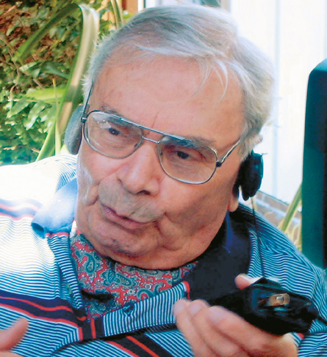
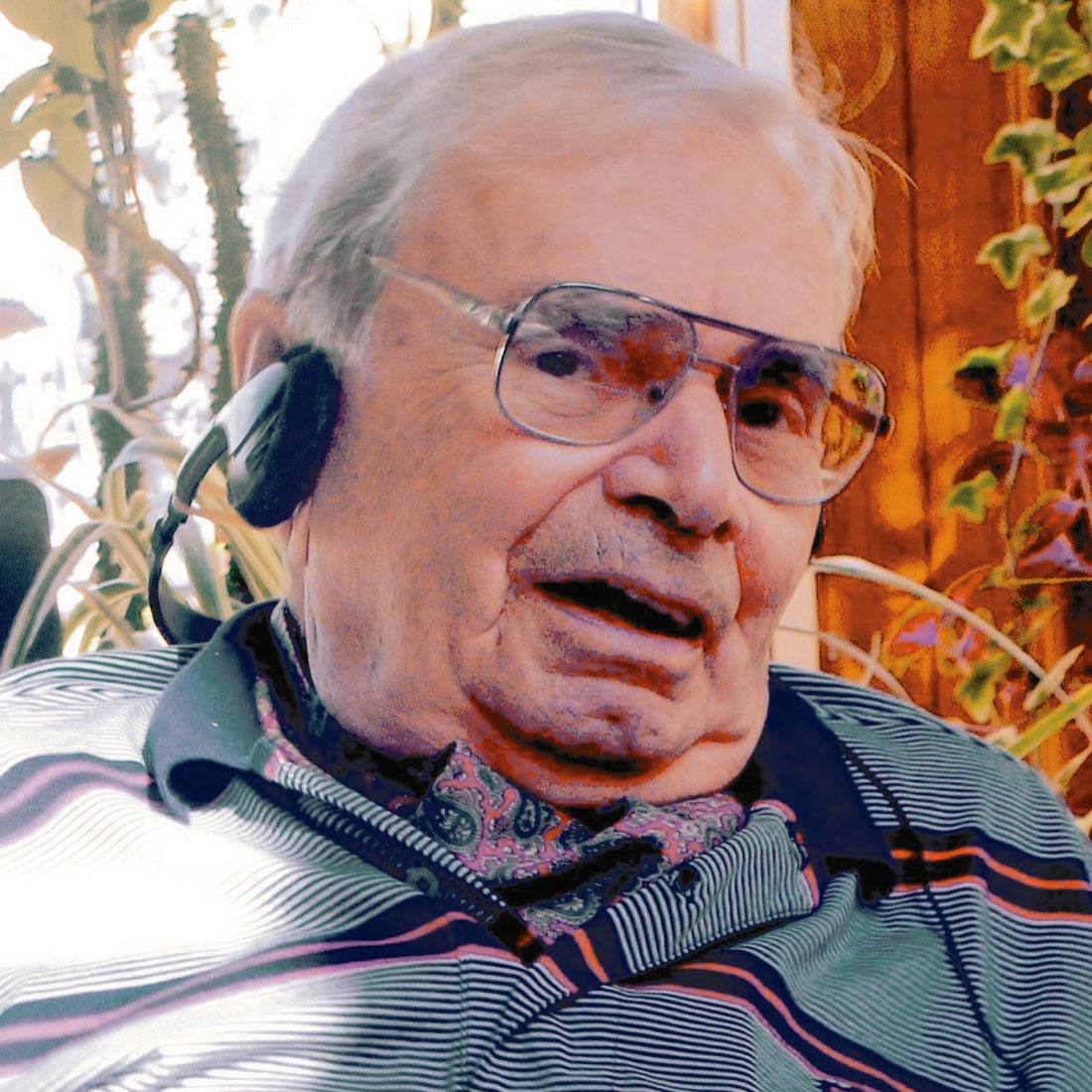
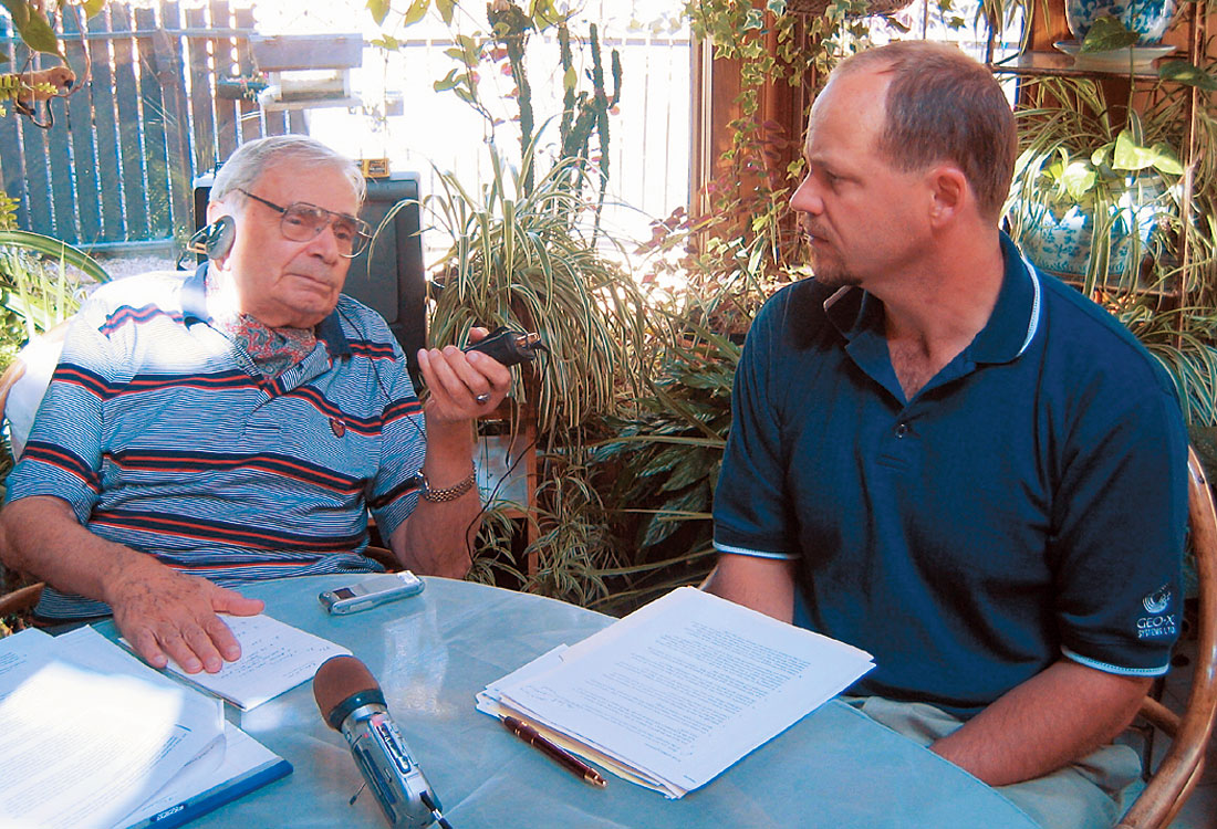
In the fall of 2004, RECORDER assistant editor Oliver Kuhn, Production Editor Satinder Chopra, and Turgay Ogut (Nexen Inc.) visited Peter Bediz in his N.W. Calgary home, and conducted the following interview. The impression one gets when meeting Peter is of a gentleman – not an old world stuffy gentleman, but a person with a genuine interest and respect for others, and completely in touch with the modern world. He has lively opinions on a wide range of topics, and his observations about formative geophysical events that happened well before most current geophysicists were born are fascinating.
[Oliver]: Peter, you’ve had an extremely long and successful career; could you tell us about a highlight that really stands out for you?
I am truly pleased and honoured that I had the opportunity to train a great many people in my career. Those many experiences stand out for me.
On the professional endeavors, I can not hide my pride and satisfaction in having played a role in initiating seismic exploration in Turkey. I felt honored when still as a graduate student at M.I.T., the Turkish Government requested my assistance to investigate seismic instruments in USA, especially during WWII. I was also asked if I would have the “know how” and willingness to be able to conduct surveys upon my return to Turkey. I am pleased and proud to say that all above were successfully accomplished.
[Oliver]: Could you tell us what attracted you to geophysics?
When I first started, I had never even heard the word “geophysics”. I was sent here, to the United States, to study geology. I had been slated to go to Germany to study coal geology. I was told that among several hundred people who had taken exams, I was number five, and I was to receive a scholarship to study in Germany. Then all of a sudden I got a telegram from Ankara, and they said, “Pete, you’re not going to Germany, you’re going to the U.S.; there’s been a change in plans.”
Afterwards, years later when I got back from my studies, I heard what had happened. At that time in the late thirties, especially in the eyes of the Turkish, Germany was considered THE country to be involved with; it seemed great what with the propaganda and so on. The fellow who was supposed to come to Colorado had an uncle who was high up in the Turkish government. He pulled some strings and they sent me to Colorado, and his nephew went to Germany!
So I came to the Colorado School of Mines, and then I heard about this course called Geophysics. Back in Istanbul I had attended a High School run on the French model, called Galatasaray. In the French system it splits into two paths – Philosophie and Mathematique Elementaire, essentially Arts and Sciences. I took the science degree, so I was interested in math, physics and so on to begin with. In Colorado when I heard what was involved with Geophysics, I immediately wanted to change into that, along with Geology.

[Turgay]: Tell us a bit about the Colorado School of Mines.
In mid-1925, Professor Heiland, Dr. Heiland, Karl Augustus Heiland, was the representative of a German company Askania. They were well known for their geophysical instruments – torsion balance, the father of the gravity meter, magnetometers, and mechanical seismograms. Heiland, in order to convince the U.S. oil companies to use geophysics, had to conduct some demonstrations. Anyway, we have to give the Colorado School of Mines credit for recognizing Dr. Heiland and his activities in geophysics; they had really good foresight to hire him and start a geophysics department, in the late 1920s.
[Oliver]: So it really hadn’t been around for long when you arrived.
I started there in 1937, and applied geophysics in the United States was in its infancy. But gradually it got stronger. I lived through 10 lb. geophones, torsion balance equipment, and sixtrace wire galvanometers, meaning a gray background with white traces.
In the early days of geophysical applications, Colorado School of Mines was the only institution in the United States that had a course and a degree to be given in Geophysics. Now there was another program I should mention, in all fairness – there was a priest, Father Linehan I believe, he was a teacher in a Catholic school in St. Louis, and he did teach some courses in geophysics. His main objective was not finding resources; his main objective was to locate the graves of the past popes in Rome. So he should get some credit for the application of geophysics, but in a different sort of way!
[Turgay]: When did Doctor Heiland write his first book, and was it the first applied geophysics book?
I started at CSM in 1937. At that time there was not a single applied geophysics book in English available. There was one book, a geophysics book from Canada, University of Toronto I think; maybe the writer’s name was Dr. King, not Tuzo Wilson, this was long before him. He had a geophysics book, but the seismic portion was maybe two or three pages long, very minimal. Its main focus was mining geophysics, so the emphasis was therefore in gravity, electrical and magnetic methods.
So we did not have a textbook in the early days. But Dr. Heiland used to provide us with mimeographed sheets, on various subjects, which eventually formed the basis of his book. Dr. Heiland had studied geophysics in Germany. He was a good scientist, but in addition to that he was also an excellent businessman. He contributed a great deal to the improvement of Applied Geophysics in North America, but he also took care of himself. He was a very interesting fellow. I got to know him very well. I did my Master’s under him too, so that brought us together.
[Oliver]: Were you involved in the first seismic processing in Canada?
Regardless what you hear, I can assure you that Century Geophysical was the very first company to have a data center in Canada, but it was an analog system. And that was T.I.’s (Texas Instruments) hardware that we used.
[Turgay]: Century was also a Canadian industry leader in the field, was it not?
Oh, yes. Sometime in the mid-1950s, we fielded sixteen crews in the winter, and correct me if I’m wrong, but I believe that still is a record today – for one contractor company operating that many crews in Canada. Not because they couldn’t, but because of the extreme variance in demand from winter to summer months. You had to carry your key personnel for seven or eight months. We determined a formula, which is very simple: if you had “X” number of crews operating in the summer, you could have double that, “2X”, in the winter, without hurting. Unfortunately you had to let go many of the helpers in the summer, which was expected, but we maintained the assistant and higher categories. Some of the key personnel acted as assistant level staff in the summer months. So that policy and our diversification enabled us to retain our good people, making it possible for Century Canada to have that many crews operating, and they all carried out the programs professionally, and also they all made money.
[Oliver]: The impression I have is that during that time there was a lot of innovation going on, and a lot of new techniques being used, so it must have been quite exciting.
We had new and useful innovations, but in the early stages of it, we were faced with misuse and abuse, as well as appropriate use, of new technology. You all know that in South Texas, Mississippi, Gulf Coast, there are many sedimentary beds that are good reflectors. We know that from our old-fashioned shooting. A friend of mine, in confidence, showed me a record section from the early stages of data processing era. Would you believe it, the section, representing a profile of at least a couple of miles depth, had only one reflection here, and another one there. The people who had done this were proud of the fact that they had eliminated all the multiples!
With new things, just like with drugs or anything else, you’ve got to learn how to use them to get the best possible results.
[Turgay]: Very true. How about innovations in the field? I’m sure the Century crews you operated used some new techniques and technology.
That’s right. Some of it came up from the United States. I’m thinking of the Poulter system for example. It was used in areas where you couldn’t do it any other way. What it was, you had a bunch of sticks in the ground, and the dynamite sitting up on top. And then kaboom, you blasted and recorded. But it really didn’t pan out as expected.
Then there was what we called the Reynolds plotter, just before data processing started. It’s amazing – the need is there, and then some people come up with an instrument, and some other people right after them come up with a better mousetrap. If it had been available, say five years earlier, you’d have known about it; you don’t, I’m sure!
[Oliver]: Do you feel that the style of the oil company-to-contractor relationship today is as healthy as it used to be?
No, unfortunately the relationships we had do not exist today. You guys make agre ements about this thick, and you still end up in the courthouse! <laughter> Would you believe I’ve directed seismic exploration programs, including the line cutting, in the amounts of millions of dollars, and we did not have a contract other than a handshake! The written contract would be filed almost after the project was finished, just to be complete. This was cooperation!
[Oliver]: In your career have you mainly worked in seismic, or have you applied other forms of geophysics?
I keep saying “geophysics”; to me, having studied geophysics, there are four main branches: electrical, magnetics, gravity and seismic. We have a lot of seismologists around, but very few geophysicists. The meaning of the word has somehow been lost in the shuffle, and we should really distinguish. Atrue geophysicist is one who can effectively utilize all methods. This is needed. Especially in remote areas, frontier areas, there is a great need to put together all the data including aeromag, gravity, etc.
[Oliver]: Well, I wonder whether the C.S.E.G. shouldn’t really be called the Calgary Society of Exploration Seismologists.
<laughter> Well, I won’t disagree, but instead of Calgary I’d keep Canadian! But we had the vision and the foresight. When the C.S.E.G. was formed - which incidentally I missed by just three months – our corresponding Geological society called themselves the Alberta Society of Geologists. Later on it dawned on them, gosh, we’re not just Alberta, there’s B.C., there’s Saskatchewan and even further east. So later on they changed it to Canadian.
[Turgay]: When did you become President of C.S.E.G.?
Somewhere around 1961. I correlate it with my position at Century. When I came up I was V. P. under Ziegler, who just recently died in Lethbridge. After he left, I took over as President of Century Canada, and that was the same year I was President of the C.S.E.G. So yes, it was 1961. It was a wonderful experience.
[Oliver]: What sort of a society was it back then? What were the main activities of the C.S.E.G.?
The main activities were described by the early bylaws: to promote the science of geophysics, and to encourage fellowship and understanding among the members. We had, of course, lectures, evening talks, most of them excellent, some of them…..<laughs> I’ll tell you about one that I always remember. There was a shothole driller, he operated his own drill. It must have been 1951 or ’52. He insisted to give a talk at a society meeting. The drillers were really underpaid, it was very competitive. We paid them between seven and ten dollars an hour, depending on location. So this fellow was very unhappy because he wasn’t making any money, and he was going to talk about that. The guy got up there, I’ll never forget – it was in the Palliser Hotel, in one of the mezzanine rooms, there must have been thirty or forty people. He got up there in front of everyone, and he said, “Gentlemen.” Then he stopped. We could see he was having problems saying anything. Long silence. Then he blurted out, “Dammit, you don’t pay us enough! Goodbye!”
So sometimes we had talks like that. But we had other kinds too, good technical papers, from within the society and from outside. Another thing we emphasized was keeping in touch with the High Schools, to promote interest in geophysics among High School kids. And it worked, really nicely. We had prepared pamphlets in language they understood.
[Oliver]: How about the Doodlebug? In a recent RECORDER, September 2004, there are reminiscences from past C.S.E.G. Presidents. Peter Savage had a funny anecdote about you.
<laughing> Well, in the Doodlebug Tournament, I had the privilege, year after year, of having the highest score! Until some Amoco man, Dick somebody, was so damn drunk he didn’t know what he was doing, he beat my record! I have a machete downstairs that was given to me as a prize because I was always in the bushes desperately looking for my ball.
[Turgay]: Milton Dobrin was part of the Canadian scene back then in the mid-50s. Could you tell us about him?
A good personal friend of mine also, a real gentleman. Milt was a distinguished scientist. He predicted things, and some of them have already become reality. He was a tru e Geophysicist, and he served as President of the CSEG, very successfully. Then he was transferred to England I think.
[Turgay]: No, he quit in 1960 and went to the States. Eventually ended up teaching geophysics at University of Houston until he died in 1980. Here is my experience involving him: when I was with BP Canada in 1981, I was working on the Halfway sand play in Beaton River, B.C. One day I was reviewing old data in the area, and I saw the original monitors; they came with the file. What I saw was that Milton Dobrin had measured the amplitudes on the Halfway reflectors in millimeters and written them down on the monitors. BP had drilled that play quite successfully. Milt recognized that the amplitudes were changing with the thickness and porosity of the sand, even perhaps with offset. That was in the early 1950s!
[Oliver]: wanted to steer our conversation towards your work off the west coast of Greenland. Could we talk a little about that?
Surely. I started consulting in 1971. Before I even completed my application for formation of the company, I was lucky enough, some Danish people came here looking for somebody to help them out. And that turned out to be Greenland Petroleum Consortium (Grepco). They interviewed several people, and they hired me. They wanted me to act as their Exploration Manager, and plan their work program, offshore Greenland. Now I’m sure you know the big island of Greenland, eightyseven and a half percent of it is ice, and right in the middle the ice is I don’t know how many miles thick.
On the west coast they have a real narrow string of sediments, mostly cretaceous, then ice. But on the east coast there is a good sedimentary section. So a man by the name of Jens Thorsson, and his Vice President Per Christiansen, interviewed me, and then they invited me over there (Denmark) and told me what they wanted to do. Grepco was a conglomerate, mainly engineering, but many other things too. Jens and Per were very sincerely interested in developing oil possibilities in Greenland.
So they hired me, and of course I told them the first thing you need offshore is seismic data. So I helped them arrange a shooting group, because they didn’t have the money to do it all on their own, I hired Western Geophysical, and we shot the area. I forget now how many miles, but it was quite an extensive project. The result of that, we interpreted it, and stru cturally there were tremendous possibilities, big long structures. But we didn’t have much geological information, so we didn’t know if we had sands or what. Later on we found out Tertiary alone was over four thousand metres thick!
I arranged, through my connections, for different companies to become partners. There were four: Gulf Canada, Total, Aquitaine, and one other. Grepco was originally named something like the Danish Underground Exploration Company – which did not translate into English well.
Anyway, we drilled. We encountered beautiful sands, but not a sniff of hydrocarbons. There was no source rock in the area. Really, what we should have done, perhaps should not be divulged. Well, I’m sure it’s still the same today – your partners don’t always go along with your ideas. We wanted, our group, with my recommendations, to go further west towards Canada, and get out of this thick Tertiary that we expected.
So Greenland didn’t pan out, but you guessed it, that experience turned Grepco into an oil company. They took that back to the Danish sector of the North Sea, and they have been rather successful. Not brilliantly, but for a small country like Denmark, four million people, they’re not quite self-sufficient, but it comes very close to that.
So those were my Greenland experiences, and they were very interesting. I must acknowledge the fact that in all my career, I have never enjoyed a relationship as I did with the Danish people. Straightforward, honest, good pay, always on time; I have a lot of respect for them, and hope the respect is mutual.
[Turgay]: You were also involved in the very early use of seismic by the potash industry. Could you tell us about that? In terms of using seismic for potash, what is the key? How and where did you direct their efforts? Is there a key to distinguishing between the higher and lower grade potash?
Seismically, other than the geophone array, it’s really the same as oil exploration. And then you just map the collapse zones, and study the behaviour and distribution of the sediments – using geology. Now the hypothesis I initiated is just that – it’s still not fully proven. But to put it simply, I would map the channels, old channels, and then I theorized that those channels were flooded, and in that flood there was potash in solution depositing on the edges of the channels, thus enriching the potash content in these locales. I noticed this time after time, “ Here’s the channel, and look, the highest grades are on both sides of it.” That was one of the keys I used.
I have always been a firm believer of integrating all available data, especially geology with geophysics. In line with that, in my consulting work I used the title “Explorationist”, so that includes geology, geophysics, whathave- you. Historically – I don’t think you guys are old enough to know this – would you believe that geophysicists from the same company, same department, same location, would keep their data secret, under lock and key, from the geologists? And the geologists would do the same! In the old days, I enjoyed contracting work much more, when the contractor did interpreter work, they themselves (the oil companies) also did their own interpretation, and that was a good idea, because you could compare.
One thing that data processing did, among many others, was to bring the geologist and geophysicist, seismologist, together. Because the geologist read sections. By working together you increased the probability of a discovery by an unbelievable amount. When I first started, believe it or not, if you did not do geology or geophysics, the discovery rate was about 5% in the early 1940s. Who knows what people were doing – someone would have a dream, or something like that! The discovery rate then in the early 1940s was about 3%. Now what are you guys doing – 95%, 97%? To me that’s unheard of.
[Oliver]: They’re all step out wells! You guys found all the good stuff! <laughter> I would imagine that the wildcat success rate is much lower.
Anyway, I place a good deal of importance on integrating the two types of data, and having the two departments working together.
[Oliver]: Now I understand that you were instrumental in sourcing out seismic equipment for use in Turkey. You brought the equipment back after WWII, and that crew shot the first seismic in Turkey. Is that right?
No, I have to correct you on that. But the only seismic work that had been done in Turkey was something like four or five kilometres in the Adana Basin, shot by C.G.G. in 1936. After that the only geophysics done was sporadic, almost exclusively magnetic and some electrical; no gravity. However, you’re not incorrect. Our efforts resulted in a well organized seismic activity much like North America, and that was a first.
To clarify let me step back further – when I was at MIT, I received a letter from the Mining Institute in Turkey (M.T. A.) – the only active organization for resource exploration in Turkey. They asked me to investigate the possibility of getting some seismic recording instrumentation. This was in the middle of the war! Even the American companies couldn’t get equipment. So good luck! Somehow or other, through a friend of a friend of a friend, I got a commitment from SSC’s instrument manufacturer – ELI – and they said they’d get a special OK for me. I ordered all the necessary instrumentation, and plenty of spare parts.
So I was lucky enough to arrange for that, and a few months later the war was coming to an end, and the ships were going back to Europe empty. They were coming back to the States with soldiers and equipment; before that it was the other way around. So the shipment of the instruments was not a serious problem.
During that time, waiting for the arrival of the equipment, I did some geology work, mainly surface mapping, dip and strike measurements, estimating oil potential.
But back to the instruments. They arrived, and we started the first Turkish seismic crew in the summer of 1947. Alongside we also had under contract a gravity and seismic crew from United Geophysical Co.
[Turgay]: How was United selected?
Well I was on the committee that evaluated the bids. We were looking at the UGS bid, and someone said, “I understand this is run by the son of the ex-President of the United States.”
[Oliver]: Who was that?
Herbert Hoover Jr. So they said, well we don’t care how much they cost, they must be the best – he’s the President’s son! So they selected them… and they did a less than satisfactory job! <laughter>
We started our own crew, and that started the interest in seismic in Turkey. Now, if we hadn’t, would things have turned out differently? Probably not, but we started things. It was very gratifying for me, with the help of others, to start this endeavour in that country.
Eventually Turkish geophysicists like Turhan Taner, Nafi Toksoz and Ozdogan Yilmaz reached universal recognition in our profession.
[Oliver]: Let’s get back to your early schooling. I understand that because of your family’s precarious financial situation you relied on competitive exams.
I had to take care of my education, financially, myself. I entered Galatasaray, and a big reason was that my mother was very influential in getting me to learn a foreign language. She could speak French, Greek, and Turkish – she was a polyglot. From time to time they gave competitive examinations to gain scholarships. I took the first one and was fortunate enough to get one for the elementary Lycée. But then from elementary to junior high I had to take another one, and again I was successful. But that one was a bit easier because by then I was known, so to speak. And then from there to the high school I took that exam, and won.
Then I graduated. I got a part-time job at Galatasaray, and went to the University every other day, taking chemical engineering. But Turkey was holding all these examinations to send students out of the country, mostly to Europe. I took the state mining institute one, and I was fortunate enough to win it. That paid for the Colorado School of Mines up and through to my Master’s degree. And then I got the teaching fellowship at MIT. So I never paid a penny out of my pocket or my family’s.
While we’re on that subject, I really, very sincerely wish to express my very deep gratitude to the ordinary Turkish people with whose money I got an education. I reimbursed them partly by working and partly by paying back with interest, the money they spent for my education. But ‘payment’, ‘money’, doesn’t really pay my obligation back to them. I still owe the Turkish people a lot. I want it to be on record that I feel that way.
[Oliver]: Well Peter, your achievements have been remarkable. Thank you so much for taking the time to share your experiences with us. Before we wrap this discussion up, do you have any words of wisdom for the younger generation (or should I say generations!) of geophysicists?
Yes I do have a few words to present to my younger colleagues. I would like to suggest to them the need to augment their knowledge in other geophysical prospecting methods, i.e. gravity, magnetics and electrical.
I would like to say to them: “Better familiarity with the other methods will elevate you to become a true, well-rounded, applied geophysicist. Mix and integrate all available information. If you can do that you are now more than a geophysicist, you are an explorationist. You are now equipped with knowledge to give birth to new ideas. You have reached the point where you can apply what a famous explorationist wisely advocated.”
He said something like “ OIL IS FOUND IN THE MINDS OF PEOPLE.” Stick to it. You might have opposing arguments. You should and can overcome them, since you have done your home work diligently and to the best of your ability. Good luck!
[Oliver]: Peter, on behalf of Turgay, Satinder, myself, and the CSEG, thank you for speaking with us. It’s a real honour for us.
Thank you Oliver, Turgay, Satinder. It’s been a pleasure.


Editors' Picks
- Science Break: Heart Attacks – “From the Archives”
Oliver Kuhn - The New Reservoir Characterization
John Pendrel - AVO Modeling in Seismic Processing and Interpretation Part 1. Fundamentals
Yongyi Li, Jonathan Downton, and Yong Xu - Improved AVO fluid detection and lithology discrimination using Lamé petrophysical parameters: "λp", "µp", and "λ/µ fluid stack": from P and S inversions
Bill Goodway, T. Chen and J. Downton - The wedge model revisited
Joanna Cooper, Don Lawton and Gary Margrave - Seismic Attributes – a promising aid for geologic prediction
Satinder Chopra and Kurt Marfurt - Scanning Calgary's Water Towers: Applications of Hydrogeophysics in Challenging Mountain Terrain
Craig Christensen et al. - AVO analysis in the presence of NMO stretch and offset dependent tuning
Jonathan Downton


Share This Interview